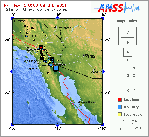
http://earthquake.usgs.gov/earthquakes/recenteqsus/Maps/US2/33.35.-118.-116_eqs.phpTake a look at recent activity near San Andreas in the Southland -
MAP 2.2 2011/03/31 23:35:51 34.300 -116.861 1.6 4 km ( 3 mi) NNW of Big Bear City, CA
MAP
3.1 2011/03/31 23:34:03 34.323 -116.840 6.2 7 km ( 4 mi) N of Big Bear City, CA
MAP 1.2 2011/03/31 22:16:44 33.828 -117.468 0.0 10 km ( 6 mi) ESE of Corona, CA
MAP 1.3 2011/03/31 18:48:43 33.001 -116.346 7.2 24 km ( 15 mi) ESE of Julian, CA
MAP 1.3 2011/03/31 18:30:47 34.119 -116.716 9.6 10 km ( 6 mi) ENE of Mt. San Gorgonio, CA
MAP 1.3 2011/03/31 18:06:57 34.118 -116.717 9.3 10 km ( 6 mi) E of Mt. San Gorgonio, CA
MAP 1.3 2011/03/31 17:15:51 34.352 -116.680 9.3 18 km ( 11 mi) ENE of Big Bear City, CA
MAP 1.1 2011/03/31 15:54:26 33.952 -116.791 11.6 5 km ( 3 mi) NNW of Cabazon, CA
MAP 1.7 2011/03/31 13:48:21 33.203 -116.047 11.2 10 km ( 6 mi) NE of Ocotillo Wells, CA
MAP 2.0 2011/03/31 04:33:04 34.190 -117.066 7.0 4 km ( 3 mi) ESE of Running Springs, CA
MAP 1.4 2011/03/31 04:12:13 34.191 -117.066 7.8 4 km ( 3 mi) ESE of Running Springs, CA
MAP 1.6 2011/03/31 02:40:33 33.226 -116.747 12.8 2 km ( 1 mi) SE of Lake Henshaw, CA
MAP 1.2 2011/03/30 23:49:38 33.417 -116.599 10.9 17 km ( 10 mi) SSE of Anza, CA
MAP 1.2 2011/03/30 19:24:43 34.335 -116.872 0.6 8 km ( 5 mi) NNW of Big Bear City, CA
MAP 2.0 2011/03/30 15:47:54 33.000 -116.350 10.9 23 km ( 14 mi) ESE of Julian, CA
MAP 1.2 2011/03/30 15:40:31 33.669 -116.732 14.9 9 km ( 5 mi) SSW of Idyllwild, CA
MAP 1.4 2011/03/30 10:13:34 34.321 -116.469 7.1 22 km ( 14 mi) NNW of Yucca Valley, CA
MAP 1.4 2011/03/30 06:55:01 33.927 -116.799 18.2 4 km ( 2 mi) NW of Cabazon, CA
MAP 2.1 2011/03/30 05:47:56 34.221 -116.863 4.3 5 km ( 3 mi) ESE of town of Big Bear Lake, CA
MAP 1.1 2011/03/30 04:16:23 33.001 -116.349 8.1 23 km ( 15 mi) ESE of Julian, CA
MAP 1.2 2011/03/30 04:11:59 33.467 -116.453 7.2 23 km ( 14 mi) ESE of Anza, CA
MAP 1.0 2011/03/30 01:11:01 33.978 -116.693 12.8 10 km ( 6 mi) NE of Cabazon, CA
MAP 1.6 2011/03/29 21:15:17 33.003 -116.340 8.1 24 km ( 15 mi) ESE of Julian, CA
MAP 1.7 2011/03/29 20:15:02 33.699 -116.716 17.4 5 km ( 3 mi) S of Idyllwild, CA
MAP 1.3 2011/03/29 16:25:36 34.284 -116.988 5.6 9 km ( 5 mi) WNW of town of Big Bear Lake, CA
MAP 1.1 2011/03/29 13:59:03 33.223 -116.746 12.6 2 km ( 1 mi) SE of Lake Henshaw, CA
MAP 1.8 2011/03/29 13:54:52 33.001 -116.346 7.0 24 km ( 15 mi) ESE of Julian, CA
MAP 1.5 2011/03/29 12:53:05 33.717 -116.840 17.0 7 km ( 4 mi) SE of Valle Vista, CA
MAP 1.1 2011/03/29 12:39:20 33.301 -116.755 12.0 7 km ( 4 mi) N of Lake Henshaw, CA
MAP 1.4 2011/03/29 11:43:51 34.045 -117.137 6.6 3 km ( 2 mi) SW of Mentone, CA
MAP 1.0 2011/03/29 11:27:50 33.223 -116.738 12.9 3 km ( 2 mi) SE of Lake Henshaw, CA
MAP
3.7 2011/03/29 10:43:24 33.225 -116.757 11.3 2 km ( 1 mi) SSE of Lake Henshaw, CA
MAP 1.0 2011/03/29 07:59:41 33.872 -116.764 16.4 4 km ( 3 mi) S of Cabazon, CA
MAP 1.9 2011/03/29 07:52:17 33.000 -116.353 9.0 23 km ( 14 mi) ESE of Julian, CA
MAP 1.1 2011/03/29 07:08:41 33.981 -116.716 20.4 9 km ( 6 mi) NNE of Cabazon, CA
MAP 1.6 2011/03/29 06:27:59 34.047 -117.134 6.4 2 km ( 1 mi) SSW of Mentone, CA


 right after I said that. We had one about 20 minutes ago, but they picked up right after midnight (shift change?).