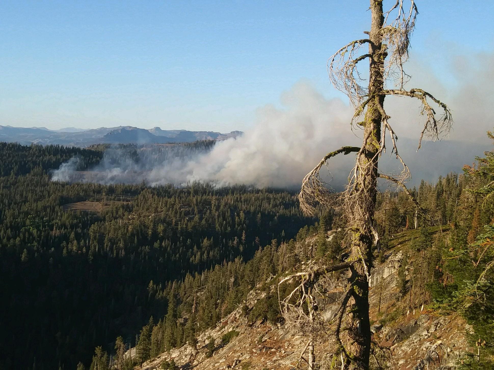
The SHOE FIRE in SHASTA COUNTY has expanded to charring 1,853 of forest land,
threatening significant cultural resources and critical habitat
What triggered this blaze that is sure to bolster the voices of the global warming / climate change crowd? Was it due to a lightning strike or the work of an arsonist? The wildfire is burning in a remote area of the Shasta-Trinity National Forest that is east of I-5 and southeast of the city of Mt. Shasta.
-NW
Current Situation: Shoe Fire
Source: InciWeb
Overview
Current as of Fri, 10/11/2024 - 18:29
Incident Type Wildfire
Cause Unknown
Date of Origin Wed, 10/09/2024 - 18:57
Location Shasta Trinity National Forest
Incident Commander Shasta-Trinty National Forest
Coordinates
40° 55' 24.4 Latitude
-122° 6' 6.012 Longitude
Currently the Shoe Fire is at 1,853 acres with 0% containment
Fire will continue to move northeast along Sulanharas drainage and run to the top of ridges when aligned. Fire behavior will moderate during the night.
Multiple structures, campgrounds, and power infrastructure is threatened, as well as road
closures and mandatory evacuations. Private timberlands to the north of the fire. Numerous
significant cultural resources, and critical habitat associated with limestone threatened.
No new evacuation orders. For the most updated evacuation orders please contact the Shasta County Sheriff’s Department or visit https://protect.genasys.com/.
Ferry Road is closed at McCloud Bridge and fire traffic is heavy in connecting roads/highways, so please be cognizant of fire equipment and personnel.
Several aircraft have been and will be continuously working the fire including night operations.
The public is advised to stay out of the area of as this is an active and ongoing incident.
The fire driven by timber fuels and steep topography and threatening homes and structures in the area.
Fire is spreading predominately north, and fire fighters are battling steep topography in this timber fuels driven fire. While there are no heavy winds in the area, conditions are still dry with low relative humidity.
==
NEW: The SHOE FIRE in SHASTA COUNTY has expanded to charring 1,853 of forest land, threatening significant cultural resources and critical habitat (views: 631)
NaturalWisdom -- Friday, 11-Oct-2024 20:50:17
Air Quality Across Shasta County Being Impacted by Shoe Fire
Annelise Pierce ● Shasta Scout
October 11, 2024
[snip]
The Shasta County Air Quality Management District wants residents to remain aware of potential smoke impacts due to the Shoe Fire.
Air quality issues are expected to last at least through October 13. Air quality impact across the community will vary depending on proximity to the fire, time of day and topography as well as current weather conditions. In general, smoke tends to settle in lower elevations overnight and during the early morning hours.
The central Shasta County communities of Bella Vista, Palo Cedro, Redding, and Anderson will experience the greatest smoke impact, the Air Quality District says.


